GeoServer 2.8

Free GeoServer is an open source server for sharing geospatial data
3.5 
Rating
Your vote:
Latest version:
2.23.1 See all
Developer:
Screenshots
1 / 8
Awards (2)
Show all awards
Software Informer Virus Free award
Download
Free   61.9 MB

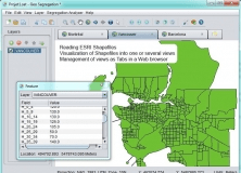
GeoServer is an open source server for sharing geospatial data. It is an OGC compliant implementation of a number of open standards such as Web Feature Service (WFS), Web Map Service (WMS), and Web Coverage Service (WCS). Additional formats and publication options are available including Web Map Tile Service (WMTS) and extensions for Catalogue Service (CSW) and Web Processing Service (WPS).

Comments

3.5
Rating
60 votes
5 stars
16
4 stars
14
3 stars
16
2 stars
14
1 stars
0
User

Your vote:

Related software

QuickBooks Remote Data Sharing Client
QuickBooks Remote Data Sharing
Free
rating

Free and very easy to use software.

Geospatial Toolkit
Geospatial Toolkit
Free
rating

NREL-developed map-based application.

Geo-Segregation Analyzer
Free
rating

An open-source program that can read ESRI Shapefiles.

Light Source Measure Tool
Free
rating

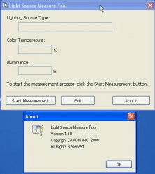
This is the tool to measure light source using i1 series products from X-Rite.

Spatial Viewer
Spatial Viewer
Free
rating

Combines geometries using the spatial methods STDifference, STIntersection, etc.